Fire Mapping
Fire Mapping
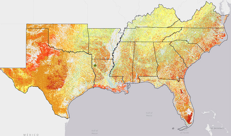
Maps are an essential tool in fire management because they describe, in a spatial context, factors that help fire managers effectively plan, allocate, and mobilize both suppression and prescribed burn resources. Under Regional Fire Mapping you will find information on the Southeast (SE) FireMap, a project funded by USDA-NRCS and managed by The Endowment for Forestry and Communities and the Longleaf Alliance.

National Fire Mapping
National fire maps offer landscape-scale snapshots of fire occurrence and associated trends such as fuel loading and severity. While these maps tend to lack some resolution when compared with regional and local products, they are critical to understanding the "big picture."
Regional Fire Mapping
Regional fire maps generally offer improved resolution over national products and can provide a variety of information such as fire history, fire type, topography, fuels/habitat condition, and more. In the Southern region, the "SE FireMap" is an exciting new project under development - intended to serve as a cohesive system to track both prescribed fire and wildfire activity on public and private lands.


