Aquatics
The Aquatic Landscape
The aquatic ecosystems of the southeastern U.S. are among the nation's most ecologically significant, encompassing diverse rivers, streams, wetlands, and estuaries vital for maintaining regional biodiversity and ecosystem health. These waters support countless species, including brook trout, darters, sunfish and bass, freshwater mussels, crayfish, and salamanders, making the Southeast one of the world's most biologically diverse regions for aquatic life.
These ecosystems also provide essential resources and services, such as flood protection, drinking water, irrigation, and recreational opportunities, crucial for local economies and cultural identity.
Despite their importance, these aquatic landscapes face grave threats from land use practices, habitat fragmentation, pollution, invasive species, and climate change, leading to widespread ecosystem degradation. Addressing these challenges is essential for preserving the ecological and economic value of the Southeast’s aquatic resources, ensuring their resilience and sustainability for future generations.

Species Initiatives
The Aquatic Connectivity Framework provides an umbrella strategy for a diverse array of species, including these successful aquatic species initiatives:
- Eastern Hellbender
- Bog Turtle
- American Black Duck
- Shorebirds of Louisiana Wetlands
- Yazoo Darter
- Colorado River Mussels
- Conasauga River Aquatics
- Blandings Turtle
- Northeast Turtles
Priority Conservation Practices
Conservation practices that NRCS state offices have selected to address threats to aquatic resources fall under four leading conservation solutions:
- Riparian Forest Establishment
- Crop & Grazing Water Quality Management
- Wetland Management
- Stream Habitat Management.
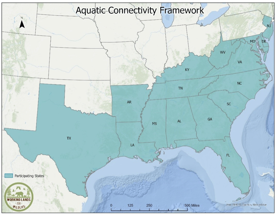
WORKING LANDS FOR WILDLIFEAquatic Connectivity Framework
A Framework for Conservation Action
Learn more →
WLFW AquaCorridors Tool Suite
View the Tool Suite Overview →
FIND OUT WHAT CONSERVATION PRACTICES FIT YOUR NEEDS
AquaCorridors: Planner
This tool asks about your conservation needs and then generates information about what conservation practices are known to help with those needs.

EXPLORE NRCS INFORMATION
AquaCorridors: Handbook
Use the AquaCorridors Handbook Tool to learn about Conservation Practices, explore NRCS and FSA funding opportunities, and access a range of decision support tools designed to enhance aquatic conservation efforts. This tool lets users search by threat, by desired conservation benefits, or by conservation practice.

EXPLORE CURATED DATASETS
AquaCorridors: Data Layer Library
Explore a curated collection of high-quality datasets focused on aquatic conservation. The AquaCorridor: Data Layer Library brings together valuable data from agencies and NGOs, providing a comprehensive resource for environmental decision-making.

MAP AND EXPORT DATA
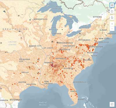
AquaCorridors: Mapper
Use the AquaCorridor map to explore and export data for your area of interest, including information on endangered species by watershed, partner organization priority areas and contact information, and key landscape conditions. Login is required to use the AquaCorridors Mapper.


