


NEWS and ANNOUNCEMENTS
-
Jun 23, 2025
Fire Lines Volume 15 Issue 3
Fire Science | Research Brief | Featured Technology | Featured Publications | SFE in Action | In the Field | Our Products | Fire Community… More -
Jun 06, 2025
Southern Fire Exchange Survey & Regional Needs Assessment-Your Feedback Will Shape the Future of SFE
We Want to Hear From You! Are you involved in wildland fire, prescribed fire, or fire science in the Southeastern U.S.? Help shape the… More -
May 05, 2025
SFE Webinar: Utilizing Terrestrial Laser Scanning (TLS) for Land Management by US Fish and Wildlife Service Southeast
A free one-hour webinar hosted by the Southern Fire Exchange, the US Fish and Wildlife Service Southeast, the University of Florida IFAS,… More -
Dec 20, 2024
Fire Lines Volume 14 Issue 3
Fire Science | Research Brief | New & Updated Technology | Recent & Featured Publications | SFE in Action | Florida Prescribed Fire… More
Visit the Wildland Fire Resources Library
-
Mar 19, 2024
DOI Nature-based Solutions Roadmap
The purpose of the Department of the Interior Nature Based Solutions Roadmap is to provide Department of the Interior (DOI) staff with… More -
Oct 30, 2023
Opportunities for Research on Carbon Sequestration in Longleaf Pine Ecosystems
As a result of the Fact Sheet on Opportunities for Research on Carbon Sequestration in Longleaf Pine Ecosystems by Kevin Robertson, Ph.D.,… More -
Oct 03, 2023
Mapping Fires Across the Southeast-Science to Solutions
The Southeast fire map (SE FireMap), funded by NRCS and managed by Working Lands for Wildlife staff, aims to develop a fire tracking map to… More
Key Issues:
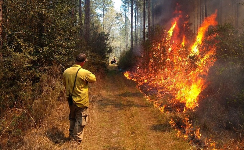
Prescribed Burning
Prescribed fire, also known as controlled burning, refers to the controlled application of fire to help restore health to fire-adapted environments, benefitting wildlife and timber values. Prescribed fire reintroduces the beneficial effects of fire into an ecosystem, producing the kinds of vegetation and landscapes we want, and reducing the hazard of catastrophic wildfire caused by excessive fuel buildup.
Wildfire
The Southeast has a complex fire environment unlike any other in the nation. While fire has long played a critical role in the landscapes across the Southeast, it is becoming increasingly difficult for agencies, organizations, and landowners to plan for and respond effectively to wildfire, while protecting vulnerable communities and providing for firefighter safety. The Southeast leads the nation in the number of annual wildland fire events.
Fire Mapping
Maps are an essential tool in fire management because they describe, in a spatial context, factors that help fire managers effectively plan, allocate, and mobilize both suppression and prescribed burn resources. Under Regional Fire Mapping you will find information on the Southeast (SE) FireMap, a project funded by USDA-NRCS and managed by The Endowment for Forestry and Communities and the Longleaf Alliance.
Training Resources
Education and training equips professionals to conduct wildland fire management safely and effectively, and ensures they are up to date on the latest information, research, regulations, and policies. A variety of wildland fire training resources are available from state and federal agencies, the Cooperative Extension Service, universities, and other entities.
Policies
Principles, policies, and laws from legislatures and agencies provide a structured approach to managing and regulating wildland fire and smoke emissions. However, these are implemented within jurisdictions and at scales that create a patchwork across large landscapes and can impede efforts to manage for wildfire risk and ecological restoration of fire-dependent ecosystems. First, it is important to know and understand what these policies and regulations require. Secondly, we must work collaboratively to address situations where fire management is inadvertently suppressed or eliminated across natural landscapes.
Research
Wildland fire research is critical to understanding the complexities of how to best manage the natural and human elements of wildland fire. Communicating research findings helps ensure that they are used to inform wildland management across jurisdictions.


